Highlighted Projects
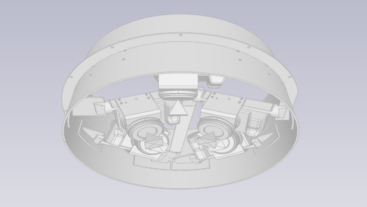
Aerovision hardware
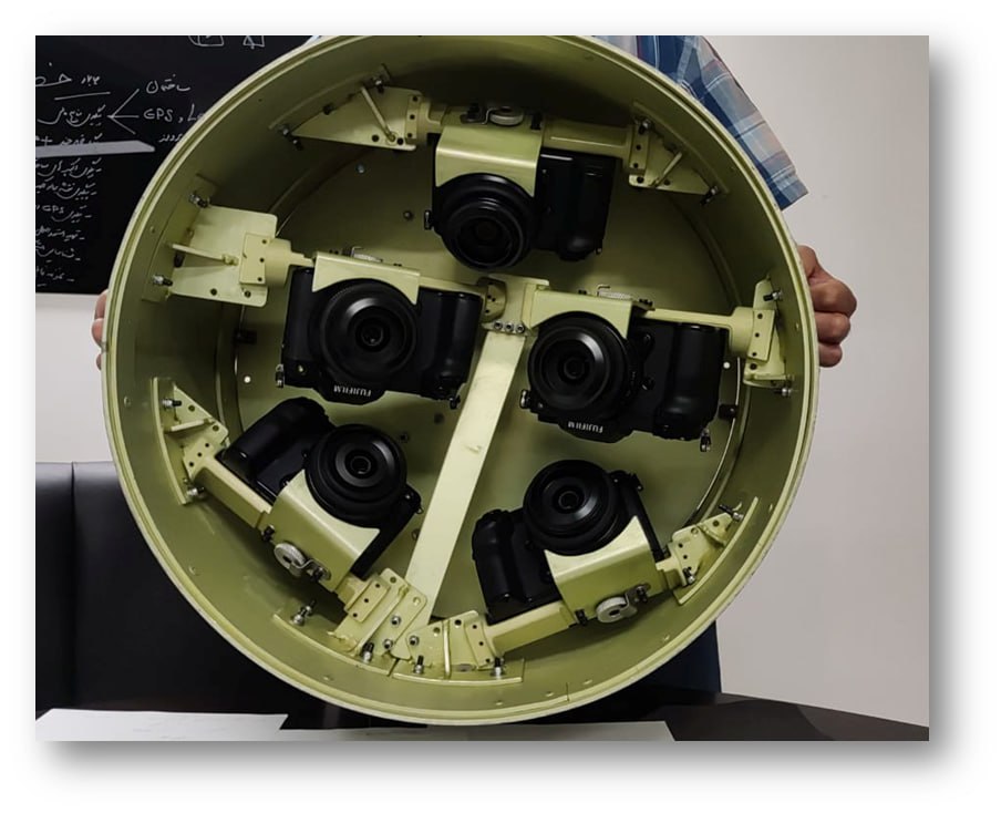
aerovision hardware
Software equipment
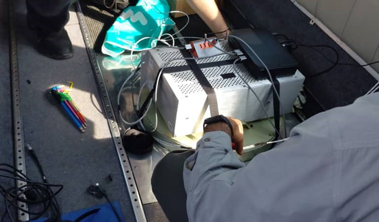
operation
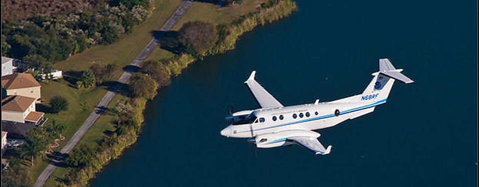
sample of platform

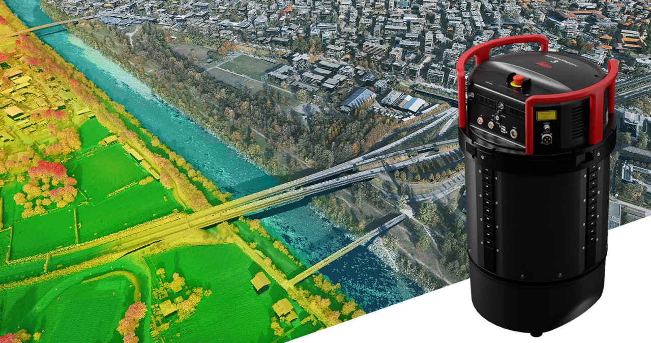
sensors
Aerovision is a deep-tech startup in the field of aerial photogrammetry, offering cutting-edge solutions for spatial monitoring, modeling, and planning. By combining artificial intelligence, multispectral sensors, and 3D data analytics, we deliver innovative, scalable tools for clients across sectors. Established in 2018 in Iran, Aerovision is now preparing to expand into the Canadian market. Our focus is on sustainable development, intelligent resource management, and providing high-precision data to support strategic decision-making at scale. Our team of engineers, data scientists, and photogrammetry experts is united by a mission: to empower industries and governments through smart, scalable, and ethical geospatial solutions. We are currently finalizing patent registrations, establishing a Canadian entity in Toronto, and preparing to enter the North American market in 2026.
We deliver tailored solutions for each client’s needs, including aerial imaging, cloud-based data processing, and the generation of engineering outputs such as Digital Surface Models (DSM/DTM), 3D maps, and Smart City models.
Using high-precision LiDAR and multispectral sensors, we provide insights into vegetation cover, soil moisture, mineral reserves, and various geological and environmental parameters.
We develop next-generation solutions in AI-powered image analysis for object detection, environmental change monitoring, and land surface classification, machine learning-based flight path optimization, and intelligent mission management considering weather, environmental, and safety conditions.
Includes Digital Twin creation, urban density analysis, and infrastructure design for sustainable city development.
Solutions for volume assessment, environmental monitoring, and surface deformation tracking in active mining zones.
Use of multispectral imagery and NDVI analysis to evaluate crop health, detect disease, and optimize irrigation.
Tree volume estimation and vegetation classification maps using LiDAR imaging for improved forestry planning.
Project monitoring and documentation through accurate surface change detection and high-resolution mapping.
Post-disaster damage assessments following earthquakes, floods, or wildfires to accelerate emergency response and recovery efforts.
Our proprietary aerial imaging software enables fully adaptable flight path planning based on project needs, environmental conditions, and real-time updates. Benefits include: Optimized flight time and lower energy usage, real-time weather adaptation (wind, clouds, rain), precision data capture over critical areas, dynamic adjustments based on data type (RGB, multispectral, LiDAR), faster operations and reduced costs, higher flexibility for complex or changing sites, enhanced safety through obstacle-aware routing.
Our system supports various cameras and lenses for custom data capture: Real-time control over exposure, shutter speed, ISO, and altitude, better image quality under variable lighting, higher modeling precision through optimized angles, seamless support for multispectral and LiDAR sensors, time and cost efficiency for large-scale missions.
Using dual-frequency GPS (including L5 band), our system geotags each image live: Instant geospatial accuracy, faster data processing and visualization, effective real-time project tracking, seamless team coordination and location-based workflows, valuable for disaster response and 3D reconstruction.
Thanks to external battery integration, our system can capture uninterrupted data for long durations: Ideal for large-scale areas, reduced downtime from fewer takeoffs/landings, better image consistency and operational efficiency, critical in countries like Canada where sunny days are rare.
Aerovision hardware
aerovision hardware
Software equipment
operation
sample of platform
sensors
Shariati Street (Qeytarieh neighborhood), at the beginning of Sadr Bridge, Simiyari Alley, No. 2, Tehran, Iran
Aerovision.su.2018@gmail.com
+98 912 500 2361